This column aims at discovering harbours from a landscape perspective, which means extending our view beyond the delimited harbour area towards the surrounding landscape of which the harbour is a constitutive part. This time, let us look at London, well known for its herculean projects of harbour transformation at Canary Wharf and the Docklands since the 1980s, followed by the urban regeneration before the Olympic Games of 2012 of former East London harbour industries and workers’ class districts in and around the Lea Valley. From these urban harbour redevelopments an extraordinary concept of public spaces has arisen, which starts to be visible on site now: The All London Green Grid (ALGG). First engaged for the East of London, then for all of London, this landscape-oriented planning project was initiated by Richard Rogers since more than a decade and enacted by a committed team of planners, architects and landscape architects within a public service that changed name and size over the years while being sustained by the successive governments of London’s metropolitan region – despite, or because of, the current climate of privatisation and monetarization of what we have come to call, in a European tradition, the public realm. The interesting point here is to acknowledge how harbour transformation – mostly dependent on private actors – can profit from a publically driven integration into large-scale urban planning and small-scale urban open space design in a landscape architectural mindset.

Conceiving of cities as landscapes is a European tradition that cares for the public realm, even if the Green Grid resonates with Frederick Law Olmsted’s and Pierre Charles L’Enfant’s plans for American cities of late 18th and 19th century. With industrial revolution and the growth of cities since the end of the 19th century, European landscape architects have developed designs for urban landscapes, whether as individuals such as Jean Claude Nicolas Forestier in France and Leberecht Migge in Germany, or as collectives of professionals around Carl Theodor Sorensen and Steen Eiler Rasmussen in Denmark. Their thoughts and projects always developed across all scales, from specific urban sites to urban planning principles and back to site-specific designs.
Starting from the acknowledgment that the East of London with its dense urban fabric around old harbour sites would hardly allow to realize what one would call a Green Grid, the planners around Richard Rogers decided to go beyond conventional ideas. One of landscape architecture’s basic principles is to work with that what exists on a given site, to transform it, rather than to create something new on previously cleared terrain. Landscape architecture is capable to suggest an alternative to the tabula rasa approach, which has developed out of the architectural tradition since the Renaissance, with its heydays in the modern movement. A derelict harbour or another brownfield understood as a landscape has the potential to be recognized as something specific and valuable, not to be erased, because it can deliver the perspective for transformation. Landscape architecture can provide action-oriented interpretations of urban landscapes acknowledged ‘as found’, where urban planning is lost in data heaps that describe a status quo but do not give an orientation, and where architecture has become an elitist business for the private real estate sector and rarely caters to the public realm. This is particularly visible in post-Thatcher London, both in the City and the Docklands, with their architectural skyline that some see as the proof of a thriving economy and others as ‘a set of improbable sex toys poking gormlessly into the privatised air’ (Ian Martin, The Guardian, 24 February 2015). In this respect, the All London Green Grid does not seek to establish a new green creation on formerly cleared land. Instead, it performs a connecting principle that attempts to make sense of an existing metropolitan area, including old harbours and post-industrial districts, while enhancing the public realm through urban open space design. This is planning beyond business as usual.
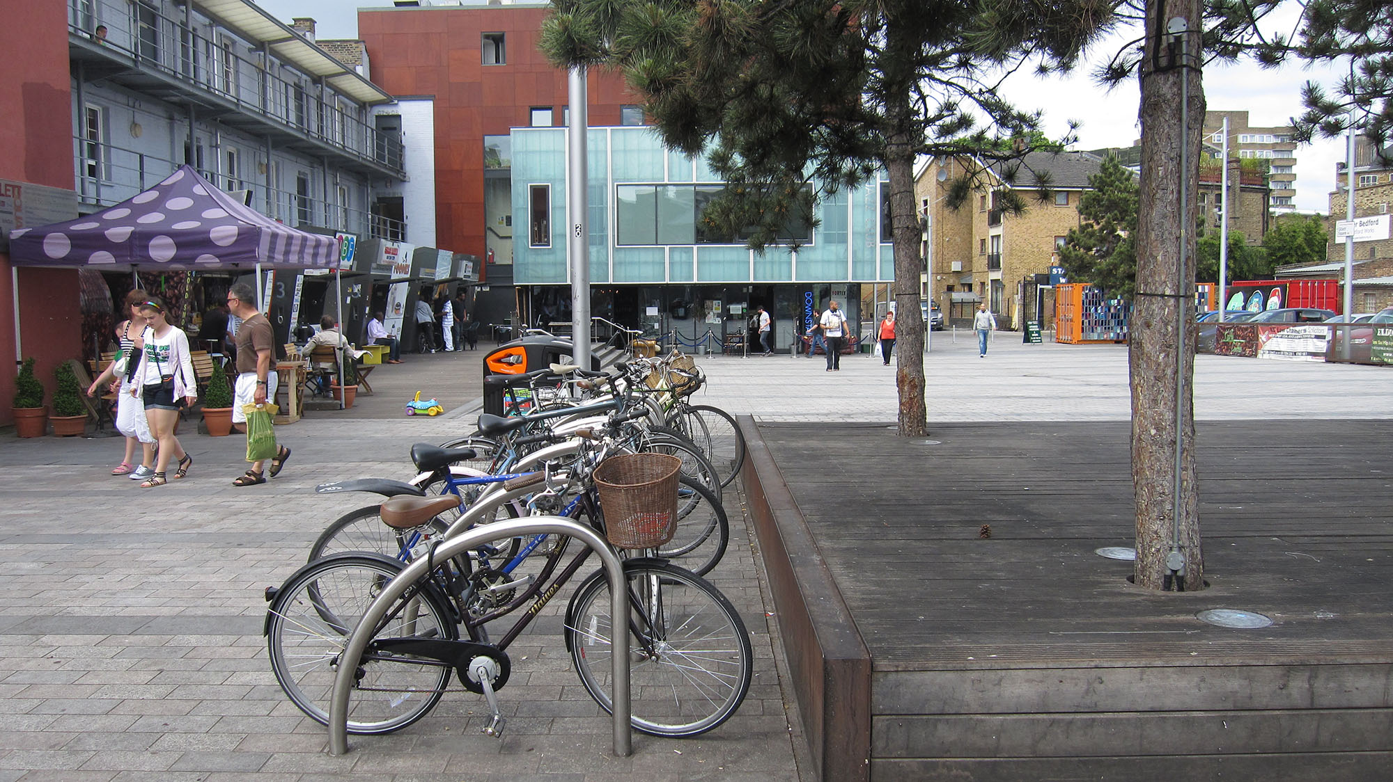
In the first place, the ALGG goes beyond being green: Defined by Richard Rogers as a ‘network of interlinked multipurpose high quality open spaces’ in the East London Green Grid Primer of 2006, it explodes the narrow-minded thinking of ‘green only’ and proposes a flexible formula applicable to contemporary metropolitan regions which are rarely conceivable with green matter alone in places where grey matter dominates. Hackney Wick and Dalston are outstanding examples of the reinterpretation of ‘green’ into ‘high quality open spaces’, no matter what colour. The ALGG helps overcoming the old-fashioned ‘green = landscape /grey = urban’ divide. The ALGG goes beyond classical municipal urban planning, in replacing classical masterplanning by a policy wrapped around the Green Grid, which in fact is composed by instruments named ‘loose-fit masterplans’or ‘strategic plans’, and probably more names to come. The driving force in this revision of instruments has been the integration of design and planning mindsets into a new hybrid professionalism. Finally, the ALGG innovates on traditional public space typologies. Its ‘public open space hierarchy’ reaches from regional parks to linear open spaces, which in itself is not outstanding, but the interpretation into actual spaces is: A regional park can materialize as an unsettling large open space such as the Rainham Marshes, a left-over between industrial areas, infrastructure lines and the River Thames, made accessible by a robust but subtle vocabulary of paths and bridges allowing for experiences of the marshes in their urban landscape at all seasons. A linear open space can materialize into Gilette Square, a sort of glade in the urban fabric, with a mosaic-cladded overseas container hosting play equipment to animate the spaces for children’s play at times. The urban glade is not green, the open space is not linear, and its connections do not have the form of a grid. All this does not matter, as Richard Rogers’ point was to create ‘peopled landscapes’ in the first place.
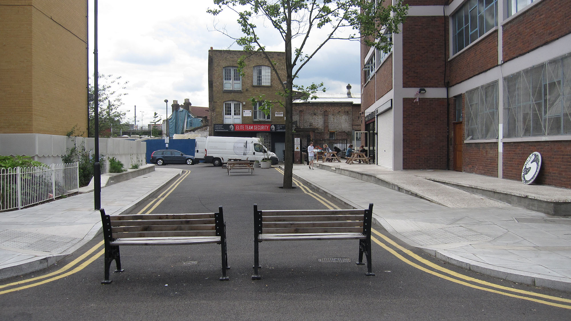
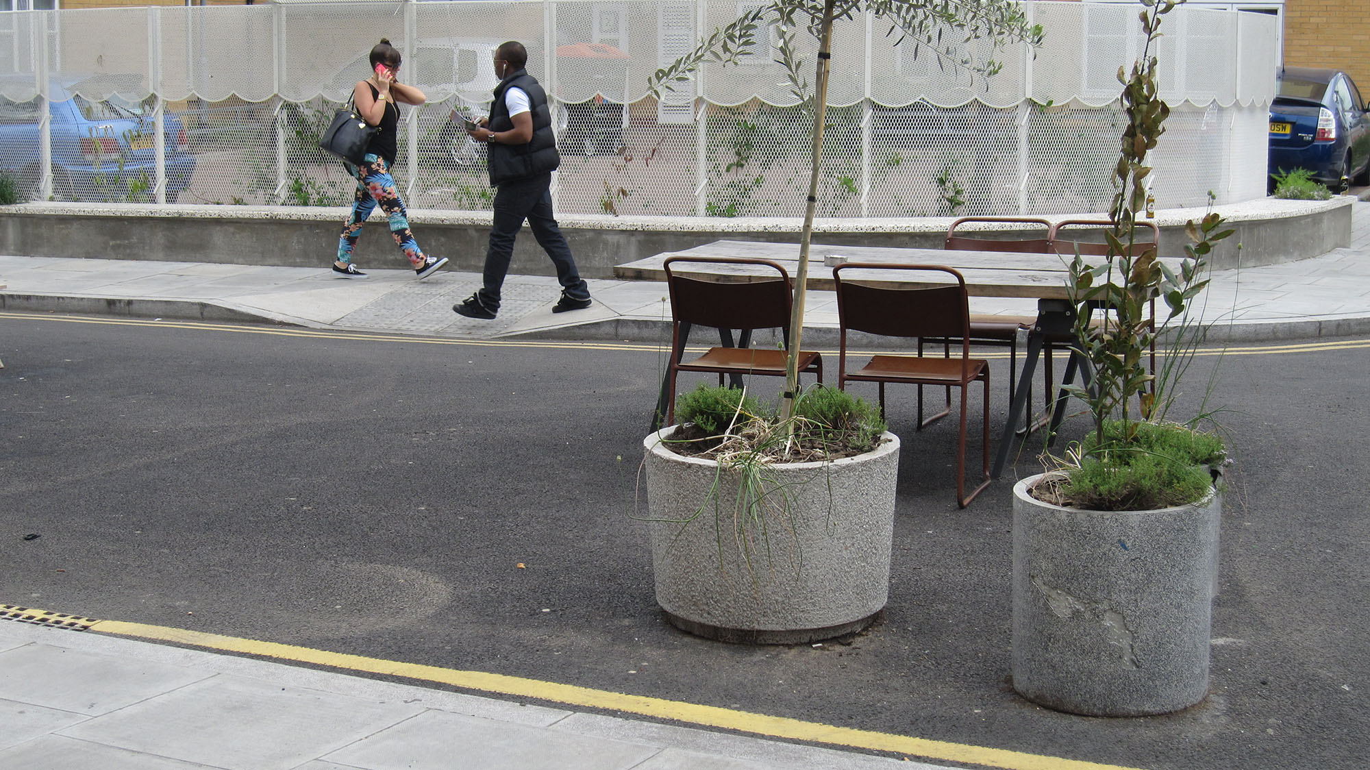
The ALGG is one of the rare examples where planners and designers are working conjointly to cross all scales and go beyond the conventional European planning and design canons: the ALGG reaches from the largest structural plan to the smallest well-thought planter on an ‘interrupted street’ in a wide understanding of co-creation, involving the most creative municipal planners as well as most talented designers, larger and smaller authorities, funders of all sorts, citizens and their associations. In this respect, the ALGG is a forward-looking, co-creative, pragmatic and ingenious concept to understand and perform the public realm as a landscape of urban open spaces – including the London harbourscapes.
References
https://legacy.london.gov.uk/mayor/auu/docs/elgg-primer.pdf
https://www.london.gov.uk/sites/default/files/ALGG_SPG_Mar2012.pdf
https://www.muf.co.uk/
Head image: Gilette square’s play container. (Designers: muf architecture/art; Photo: Lisa Diedrich, 2012)